News Summary
Tropical Storm Chantal is set to make landfall in South Carolina this weekend, bringing heavy rain and wind. With sustained winds of 50 mph, residents are warned to prepare for possible flash flooding and travel disruptions. Tropical storm warnings are in effect along the coastal areas, especially between Charleston and Cape Fear. Flooding risks are heightened, with potential rainfall of up to 6 inches. As Hurricane season progresses, it’s crucial for both residents and visitors to stay informed and prioritize safety.
Tropical Storm Chantal Heads Toward the Carolinas
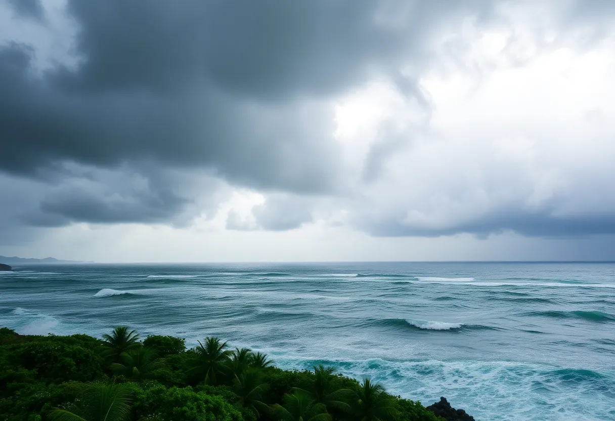
As we head into the weekend, a tropical storm named Tropical Storm Chantal is making headlines as it gears up to make landfall in South Carolina early Sunday morning. The storm, which developed on Saturday about 150 miles off the coast, is expected to dump some heavy rain on the Carolinas.
What to Expect with Chantal
With Chantal packing maximum sustained winds of 50 mph and moving north at approximately 8 mph, it’s important for everyone in the area to be prepared. The storm’s center is predicted to cross the South Carolina coast on Sunday, particularly between Charleston, SC, and Cape Fear, NC. 🌧️
Warnings and Watches in Place
Tropical storm warnings have been issued for portions stretching from the South Santee River in South Carolina all the way to Surf City in North Carolina. Additionally, a tropical storm watch is underway for areas from Edisto Beach to the South Santee River, making it crucial for residents and visitors to stay alert.
Rainfall Predictions and Flood Concerns
Forecasters are expecting Chantal to bring in 2 to 4 inches of rainfall across these areas, with some spots potentially soaking up up to 6 inches of rain. This brings a heightened risk of flash flooding, which has the South Carolina Emergency Management Division sounding the alarm. They warn everyone to be cautious of heavy rain, gusty winds, and even high rip currents that can pose dangers through Monday.
Monitoring the Storm’s Progress
Chantal is expected to turn northeast by Sunday night, and while there might not be much change in its strength before landfall, the storm is predicted to rapidly weaken afterward. Residents and visitors along the coastal areas should be mindful of the potential for a minor storm surge, which could cause flooding in areas that typically stay dry. Peak storm surges could reach 1-3 feet in the warning area and 1-2 feet in the watch area.
Travel Impacts
Taking into account that this weekend is bustling with travelers, many are tweaking their plans due to the impending storm. Beachgoers have expressed some concerns about how long the rain will linger during their stay. Lifeguard organizations along the Grand Strand have already reported several rescues due to rough seas, highlighting the importance of being cautious around the water.
Looking Ahead: Hurricane Season Insights
As we continue into the Atlantic hurricane season, which runs from June 1 to November 30, we can expect its peak activity from mid-August to mid-October. NOAA has warned of a 60% chance of an “above-normal” hurricane season, with predictions for 13 to 19 named storms this year. Out of these, we could see 6 to 10 strengthening into hurricanes, and possibly 3 to 5 turning into major hurricanes.
Stay Informed and Safe
In conclusion, it’s essential for everyone in the path of Tropical Storm Chantal to stay informed and take all necessary precautions. Whether you are a resident or just visiting, keep an eye on the storm’s developments and prioritize safety over everything. Make sure you have your emergency kits ready, ensure that your plans account for changing weather, and stay tuned for updates!
Deeper Dive: News & Info About This Topic
- CBS News
- Wikipedia: Hurricane Season
- Fox Weather
- Google Search: Tropical Storm Chantal
- WLTX
- Encyclopedia Britannica: Tropical Storm Chantal
- New York Post
- Google News: Tropical Storm Chantal

Author: STAFF HERE PROVIDENCE WRITER
The PROVIDENCE STAFF WRITER represents the experienced team at HEREProvidence.com, your go-to source for actionable local news and information in Providence, Providence County, and beyond. Specializing in "news you can use," we cover essential topics like product reviews for personal and business needs, local business directories, politics, real estate trends, neighborhood insights, and state news affecting the area—with deep expertise drawn from years of dedicated reporting and strong community input, including local press releases and business updates. We deliver top reporting on high-value events such as WaterFire, Rhode Island International Film Festival, and Rhode Island Comic Con. Our coverage extends to key organizations like the Greater Providence Chamber of Commerce and Providence Warwick Convention & Visitors Bureau, plus leading businesses in finance and manufacturing that power the local economy such as Citizens Financial Group and Textron. As part of the broader HERE network, we provide comprehensive, credible insights into Rhode Island's dynamic landscape.


