News Summary
Hurricane Kiko has been classified as a Category 4 storm and is currently situated 1,000 miles east of Hilo, Hawaii. Acting Governor Sylvia Luke has declared a statewide state of emergency to prepare for potential impacts, as forecasts suggest the storm will track north of the islands. The Big Island is expected to experience large swells and hazardous surf conditions starting Sunday. While Kiko is currently strong, meteorologists believe it will weaken before making its closest approach to Hawaii.
Hurricane Kiko Approaches Hawaii as a Category 4 Storm
As we all hope for calm seas, Hurricane Kiko has made headlines as it was officially classified as a Category 4 storm on Saturday morning. The storm is currently located about 1,000 miles east of Hilo, Hawaii. While it’s certainly a powerful storm, the National Hurricane Center (NHC) has some reassuring news that Kiko is expected to weaken significantly before it reaches the islands.
A Prepared State
In response to the impending hurricane, acting Hawaii Governor Sylvia Luke took proactive measures by declaring a statewide state of emergency. This declaration helps state agencies and the Hawaii National Guard to mobilize quickly, ensuring that Hawaii is ready to face any possible impacts. Safety preparations are on the top of everyone’s mind as forecasts indicate Kiko will likely track just north of the Hawaiian Islands on Tuesday, reducing the chances of a direct landfall.
Surf’s Up!
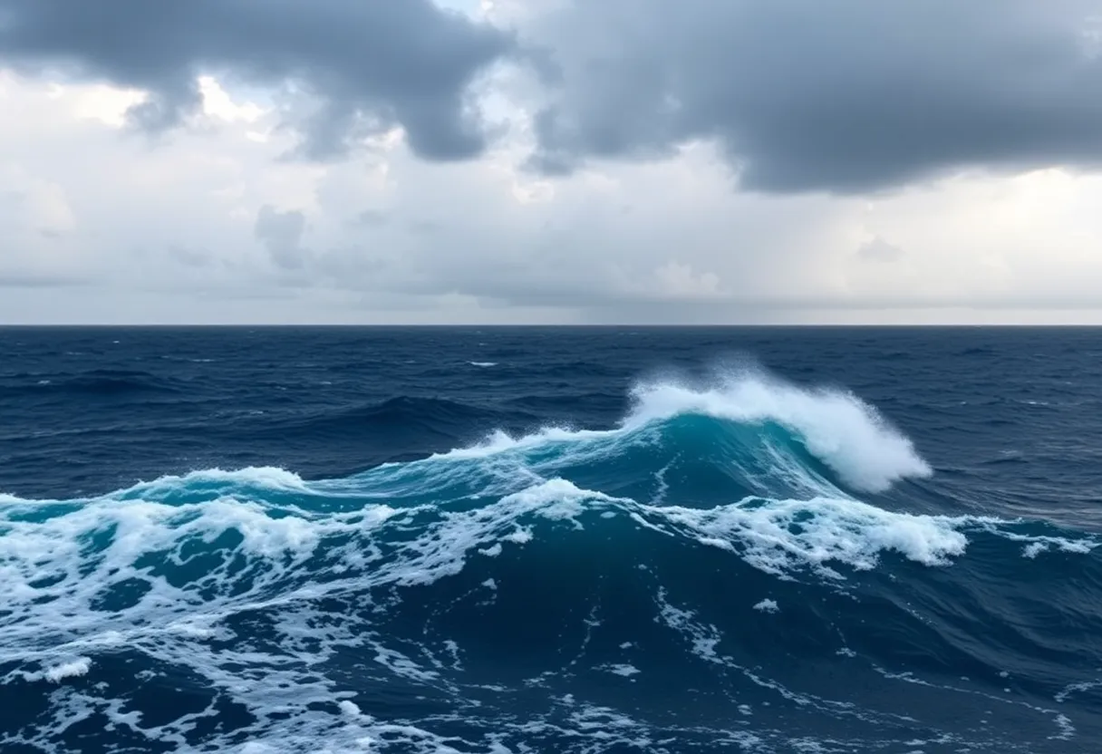
Starting as early as Sunday, the Big Island will feel the effects of Kiko, with large swells predicted to roll in. The peak surf is expected late Monday through midweek, leading to potential life-threatening conditions along the east-facing shores. The NHC has also issued warnings about hazardous surf and dangerous rip currents that swimmers and surfers should take seriously.
Weather Outlook
While winds are currently reaching up to 130 mph as it moves west-northwest at 25 mph, Kiko is anticipated to lose strength due to cooler sea surface temperatures that are currently in the mid-70s. Meteorologists believe that Kiko will remain a major hurricane through the weekend but will probably lose its strength due to encountering hostile upper-level winds and dry air.
What to Expect
The current predictions suggest that Kiko could drop to minimal hurricane strength by Monday night and potentially downgrade to a tropical storm by Tuesday morning. Its small size means hurricane-force winds only extend about 25 miles outward, while tropical-storm-force winds reach up to 80 miles. Although there is still some uncertainty, experts are confident that Kiko’s track will keep it north of Hawaii, limiting the wind and rain impacts on the islands.
Remaining Cautious
It’s important to stay alert, as any slight shift in Kiko’s path towards the south could spell trouble, potentially leading to heavier rainfall than anticipated. Governor Luke has urged locals to take the storm seriously and prepare for any outcomes that could emerge from this unpredictable nature of hurricanes.
Frequently Asked Questions
What category is Hurricane Kiko currently classified as?
Hurricane Kiko is classified as a Category 4 storm.
What preparations have been made in Hawaii for Hurricane Kiko?
A statewide state of emergency has been declared by acting Governor Sylvia Luke, mobilizing state agencies and the Hawaii National Guard.
Will Kiko make landfall in Hawaii?
Forecasts indicate that Kiko will likely pass just north of the Hawaiian Islands, with low chances of direct landfall.
What are the expected impacts on the Big Island?
Large swells and potentially life-threatening surf and rip currents are expected on the Big Island starting Sunday, with peak conditions leading into midweek.
Key Features of Hurricane Kiko
| Feature | Description |
|---|---|
| Current Category | Category 4 |
| Location | Approx. 1,000 miles east of Hilo, Hawaii |
| Maximum Sustained Winds | 130 mph |
| Predicted Path | Expected to track north of Hawaii |
| Emergency Declaration | Statewide state of emergency declared |
| Predicted Effects | Large swells, rip currents, potential heavy rainfall |
| Date of Impact | Beginning Sunday, with peak late Monday through midweek |
Deeper Dive: News & Info About This Topic
- Fox Weather
- CNN
- Hawaii News Now
- Encyclopedia Britannica: Hurricane Kiko
- Google Search: Hurricane Kiko

Author: STAFF HERE PROVIDENCE WRITER
The PROVIDENCE STAFF WRITER represents the experienced team at HEREProvidence.com, your go-to source for actionable local news and information in Providence, Providence County, and beyond. Specializing in "news you can use," we cover essential topics like product reviews for personal and business needs, local business directories, politics, real estate trends, neighborhood insights, and state news affecting the area—with deep expertise drawn from years of dedicated reporting and strong community input, including local press releases and business updates. We deliver top reporting on high-value events such as WaterFire, Rhode Island International Film Festival, and Rhode Island Comic Con. Our coverage extends to key organizations like the Greater Providence Chamber of Commerce and Providence Warwick Convention & Visitors Bureau, plus leading businesses in finance and manufacturing that power the local economy such as Citizens Financial Group and Textron. As part of the broader HERE network, we provide comprehensive, credible insights into Rhode Island's dynamic landscape.


