News Summary
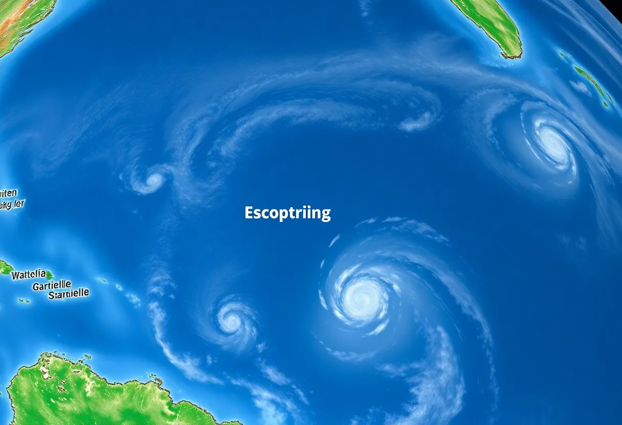
A tropical wave off the African coast has the potential to develop into Tropical Storm Gabrielle by the end of the week. Currently located 2,500 miles east of the Lesser Antilles, the system has a 30% chance of developing into a tropical depression within two days and a 70% chance over the week. As experts track its movement towards the northeast, residents in potential impact areas are advised to stay prepared for any changes in the storm’s development.
Eyes on the Tropics: A Look at Potential Tropical Storm Gabrielle
Hey there, weather watchers! We’ve got some exciting news coming out of the eastern Atlantic Ocean that you’ll want to keep an eye on this week. A tropical wave has been spotted off the African coast, just south of the beautiful Cabo Verde Islands, and it has the potential to stir up trouble as it develops into what we might call Tropical Storm Gabrielle by the end of the week!
Where Is It Now?
This tropical wave is currently hanging out around 2,500 miles east of the Lesser Antilles, cruising west-northwestward across the ocean. For those of us keeping track, tropical waves like this one often set the stage for future tropical storms during the hurricane season. They can be quite the early indicators of what’s to come!
The Development Timeline
So, what does this mean for our weekend plans? Based on what experts are saying, this system might take a turn for the more stormy if it gets its act together. There’s a good chance (about 30% in the next two days and 70% over the next week) that it will start to organize and could possibly mature into a tropical depression by mid to late week.
Now, while conditions could be favorable for development, there are some challenges this wave might face along the way. Things like dry air and wind shear could put a damper on its growth. Keeping this in mind, the National Hurricane Center (NHC) has indicated that we might see a gradual development of this tropical wave, with the possibility of it being officially named Gabrielle by the weekend or early next week.
Where It’s Heading
As of now, forecasts suggest that the system will likely remain hundreds of miles east of the Lesser Antilles over the weekend. However, don’t let your guard down just yet! Future projections indicate that it could track north and northeast out into the open Atlantic later in the week. It’s essential for those in the Lesser Antilles to stay on their toes and monitor this situation closely.
Seasonal Patterns and Historical Data
Looking at the bigger picture, we’re already in the midst of hurricane season, which typically sees its busiest activity during the second week of September. Currently, this hurricane season has been cruising at a near-average pace, boasting 6 storms and 1 hurricane so far. However, it’s worth noting that Hurricane Erin, the only hurricane we’ve seen this season, didn’t make landfall but did bring flooding to the Leeward Islands and along parts of the East Coast.
As a rule of thumb, about 70% of hurricane activity occurs from mid-September onward, which aligns with natural seasonal patterns. With that in mind, it’s a good idea to consider developing or refreshing your hurricane preparedness plans. Who knows what twists and turns this season may take?
Time to Stay Prepared!
In conclusion, as we eagerly await the developments of this tropical wave and potential Tropical Storm Gabrielle, remember to stay informed! It’s always better to be safe than sorry, especially during hurricane season. So, check your supplies, review your emergency plans, and keep an eye on those weather updates!
FAQ Section
What is a tropical wave?
A tropical wave is an elongated area of low atmospheric pressure that can lead to the development of tropical storms or hurricanes during the hurricane season.
How likely is the tropical wave to develop into a storm?
Currently, there is a 30% chance of development over the next two days and a 70% chance over the next week.
What factors can impede the development of a tropical storm?
Dry air and wind shear are two main factors that can hinder the development of a tropical storm.
Why is timing important in hurricane season?
Timing is crucial because hurricane activity peaks around mid-September, which means higher chances of storms forming during this period.
Key Features Overview
| Feature | Status |
|---|---|
| Tropical Wave Location | 2,500 miles east of the Lesser Antilles |
| Chance of Development | 30% in 2 days; 70% in 7 days |
| Expected Movement | West-northwest across the eastern Atlantic |
| Potential Impact Area | Hundreds of miles east of the Lesser Antilles |
| Historical Activity Peak | Mid-September |
As we navigate through this hurricane season, let’s stay informed, prepared, and safe!
Deeper Dive: News & Info About This Topic
- Weather.com: Tropical Storm Gabrielle Update
- Fox Weather: Tropical Storm Gabrielle News
- Newsweek: Tropical Storm Gabrielle Path Update
- Fox 13 News: Tropical Disturbance Could Become Gabrielle
- Wikipedia: Tropical Storm
- Encyclopedia Britannica: Hurricane

Author: STAFF HERE PROVIDENCE WRITER
The PROVIDENCE STAFF WRITER represents the experienced team at HEREProvidence.com, your go-to source for actionable local news and information in Providence, Providence County, and beyond. Specializing in "news you can use," we cover essential topics like product reviews for personal and business needs, local business directories, politics, real estate trends, neighborhood insights, and state news affecting the area—with deep expertise drawn from years of dedicated reporting and strong community input, including local press releases and business updates. We deliver top reporting on high-value events such as WaterFire, Rhode Island International Film Festival, and Rhode Island Comic Con. Our coverage extends to key organizations like the Greater Providence Chamber of Commerce and Providence Warwick Convention & Visitors Bureau, plus leading businesses in finance and manufacturing that power the local economy such as Citizens Financial Group and Textron. As part of the broader HERE network, we provide comprehensive, credible insights into Rhode Island's dynamic landscape.